3/29/2020 – Unnamed trail 3 miles – Woodstock to Driver trail 2.2 miles – Unnamed trail 0.7 miles
Elevation gain: 571ft
Location: 714 Marriottsville Rd. Marriottsville, MD 21104
🌧
Very dreary day with light drizzle. My favorite weather. The small parking lot we’ve been using for the trails around here is almost full but mostly with fishermen’s cars. I guess it’s perfect weather for them.
We carefully cross Marriottsville Rd. to pick up the trailhead sandwiched between South Branch Patapsco River and the railroad tracks.


For 0.3 miles we’re keep following the tracks then jump on the trail after crossing them on our right. We actually almost missed the trail but I caught up with the mistake early enough. It continues up on a small hill about 25 feet above the railroad.

Even though it winds through the forest the funny part is that several times we end back up at the railroad. So even if you miss the trail at the beginning you’ll have plenty of time to catch up with it within a few hundred feet.

At about 0.5 miles the river makes several big loops teasing us only with its sounds as it leaves our sight. After this first bend our path takes us farther away but there is a constant roaring.

The trail is very muddy since it has rained all day yesterday. On our left there is a tiny lake, looks more like a floodplain but it shows up on the map. I’m sure it’s home to a wonderfully diverse wildlife and plants, even though it doesn’t look like much at the moment. The area around this small pool is full of birds.


On our right there’s a huge mossy rock wall. I could just put a chair underneath to enjoy nature from this very spot.

We have to cross a little creek running down from the hills, feeding into the small lake. Walking upwards put us yet again above the tracks. I can hear a Kingfisher at the vantage point, flying towards the cascades.

At 1.5 miles the trail turns away from the river and heads deeper into the forest. We cross yet again another small creek that feeds into Patapsco. We could actually just follow the railroad keeping with the river and pick up the targeted end of this trail but we’re here to hike.
Scratch that actually….what shows up on the app as our trail is wrong again. I don’t know where they’re getting their information. I was actually hoping that there would be an invisible trail keeping with the railroad and the river that other likeminded people tracked out. Always taking the longest route.
As you can see the black lines are missing under my red track lines. That’s the invisible trail until we reach Woodstock to Driver Trail down in the corner.


At one point there is a clearing, thankfully without the power lines.

On the other side the forest swallows us but just for a short amount of time. Spits us out again at the railroad but takes yet another right turn at some small ruins to guide us through the woods some more.

Mag shows strong interest in a small creek with a huge boulder sticking out of it. We approach so he can take a drink. Easy for his small body to slide through the fallen trees but I have to have some acrobatic talent to follow him with the attached leash.

After our short break we come across the same clearing again and a mosquito sitting on a cherry blossom.


Instead of keeping with the clearing we duck back into the forest after climbing through some heavy mud. The forest is absolutely lovely with its pastel greens. Spring changes all the browns slowly, starting on the bottom, working her way up to the top.
We walk along these ruins which I christened: The Patapsco Stonehenge, just before catching back to the river again.


At exactly 3 miles we take a sharp right turn, hooking up to Woodstock to Driver Trail. The other path keep going until it reaches Old Court Rd. where it becomes Hoco Thru Trail. (We’ll check that out at another time.) The railroad also heads that way, leaving us for good.

On the way back we have to take shelter under our umbrella for five minutes when the rain becomes more pronounced. Mag hates getting wet from above. Doesn’t take long and we are back carrying on. Cutting through the same clearing again, criss-crossing like a scissor’s arms.

Mag gets a swift of horse smell and goes bananas as usual. I see the proof of their presence but no other sightings though. Just me being pulled through the forest by a crazy canine.

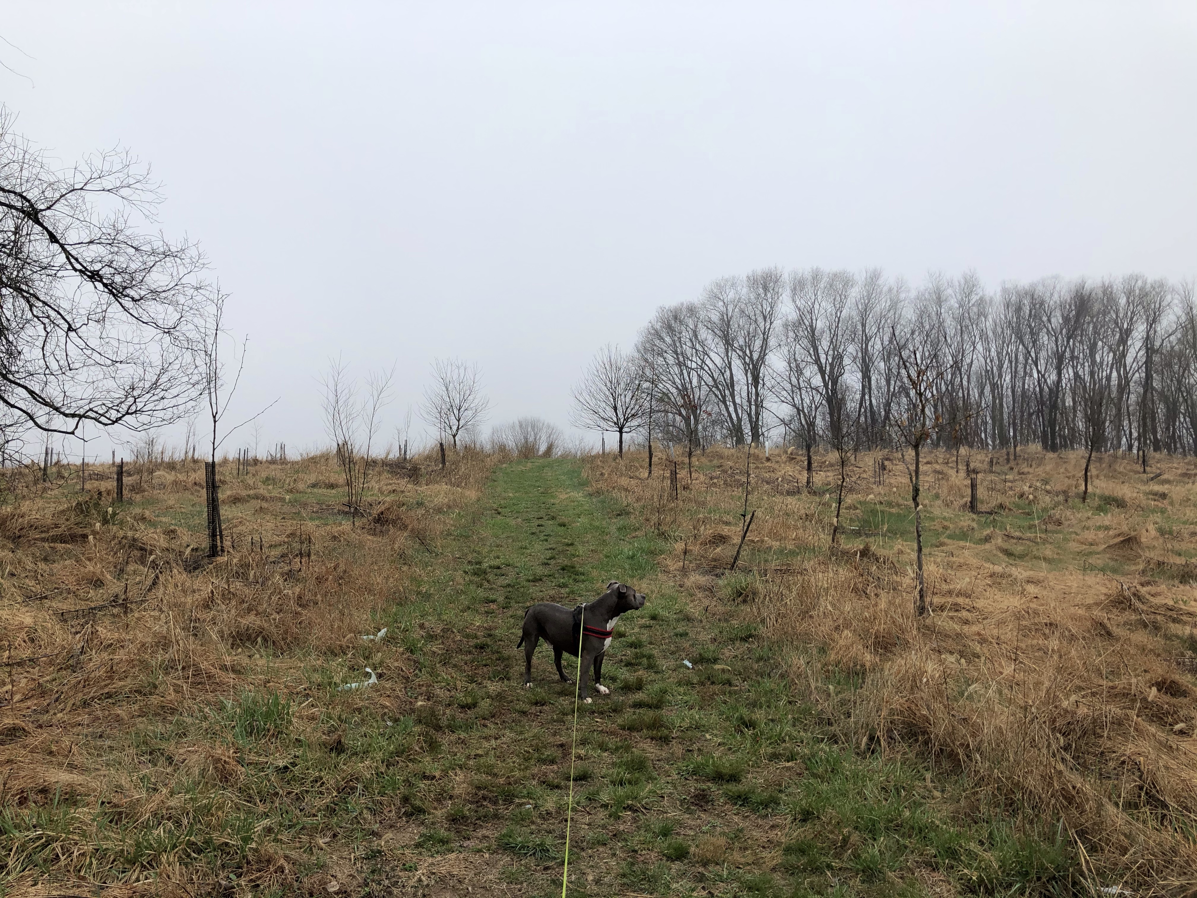
He calms down in a bit when we emerge at a nice size farmland with hundreds of freshly planted trees.
It’s easy to get off track since AllTrail is not perfectly clear which one to take but no worries all lead to the spooky farm. The main house is actually pretty nice.

After the farm there are at least three paths to choose from so we take the middle one. We end up at another – less spooky – horse farm across Driver Rd. Haze makes everything a little bit spookylicious though.

We keep to the right and come across a closed parking area with even an information post. Seems to be abandoned for awhile now.

As we march on our now wide and spacious trail we stir up a Pileated Woodpecker looking for a fat worm on a dead tree. It was amazing! Sounds like a chopper taking off from base.
Our next stop is the colonial pipeline facility in all its glory!

We walk around it and follow the tunnelish trail on the other side.
I guess because of the fog every plane overhead sounds like they are going to land on the top of our heads.

We are back in the beautiful forest with hundreds – thousands – of arrow straight trees. Awakened Barberry bushes paint our surroundings green near and far on the bottom.


There are these awesome ruins in the middle of the woods here. Both were obviously houses at one point but while one has walls the other only has the chimney to attest to this fact.


The path here goes just below residential farms located on Driver Rd. and since we are taking the biggest loop to get back to where we’ve parked we come across another small horse farm. I have chosen this cut through to pass a couple with a dog in front of us but it turned out that this is a much longer route. They end up way before us when we finally get back next to the railroad.
I’ve spotted this actual Wood duck on the path! (Look up wood ducks if you are not familiar with the species.)

So we are back at our original split from the train. Heading back to our starting point next to them on the ballast, marveling about the river on our right.

Before the bridge a Great Blue Heron took off and flew next to us following the riverbed. Absolutely gorgeous creature.
We’ve safely crossed the road after picking up some trash next to it. Cleaning off Mag and changing my boots are priority but after giving him a treat I get on to shot off the app.
Here is the trail map.

After leaving the parking lot and crossing the tracks I see the road sign for Driver Rd. on the left. Let’s see about this quieter road. Very lovely! I wouldn’t mind living here as a matter of fact!
Here is the horse farm across from the abandoned parking area.

Keep hiking my friends! And don’t forget….

Thank you for reading!

Such a beautiful place to go for a walk! Our woodlands are still a little bit dreary too, waiting to see bursts of colours as days are gradually getting longer and warmer 😊😊😊 stay safe 😊 Aiva
LikeLiked by 1 person
Yes. Patapsco Valley Park is amazing! Nature is still awaking but with April’s notoriously crazy weather still anything is possible. Thank you for reading. Be well!
LikeLiked by 1 person